


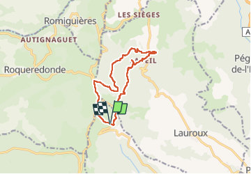

8,9 km | 12 km-effort

Gebruiker


Gratisgps-wandelapplicatie
 SityTrail
IGN / Geografische instituten
SityTrail World
De wereld gaat voor u open
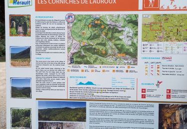
Tocht Stappen van 12,5 km beschikbaar op Occitanië, Hérault, Les Plans. Deze tocht wordt voorgesteld door Raymond DAVID .
Parking au-dessus du hameau du Perthus (D 902).
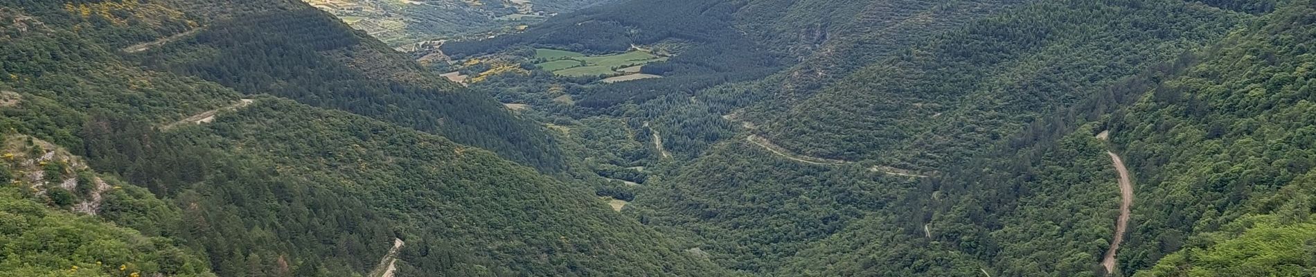
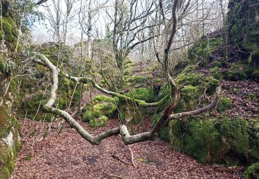
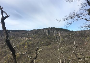
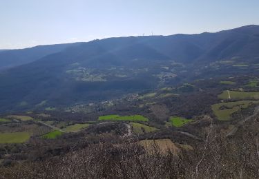
Agréable randonnée très ombragée. De beaux points de vue.


Noords wandelen

Noords wandelen

Stappen

Stappen

Stappen
Stappen
Stappen
Stappen
Noords wandelen